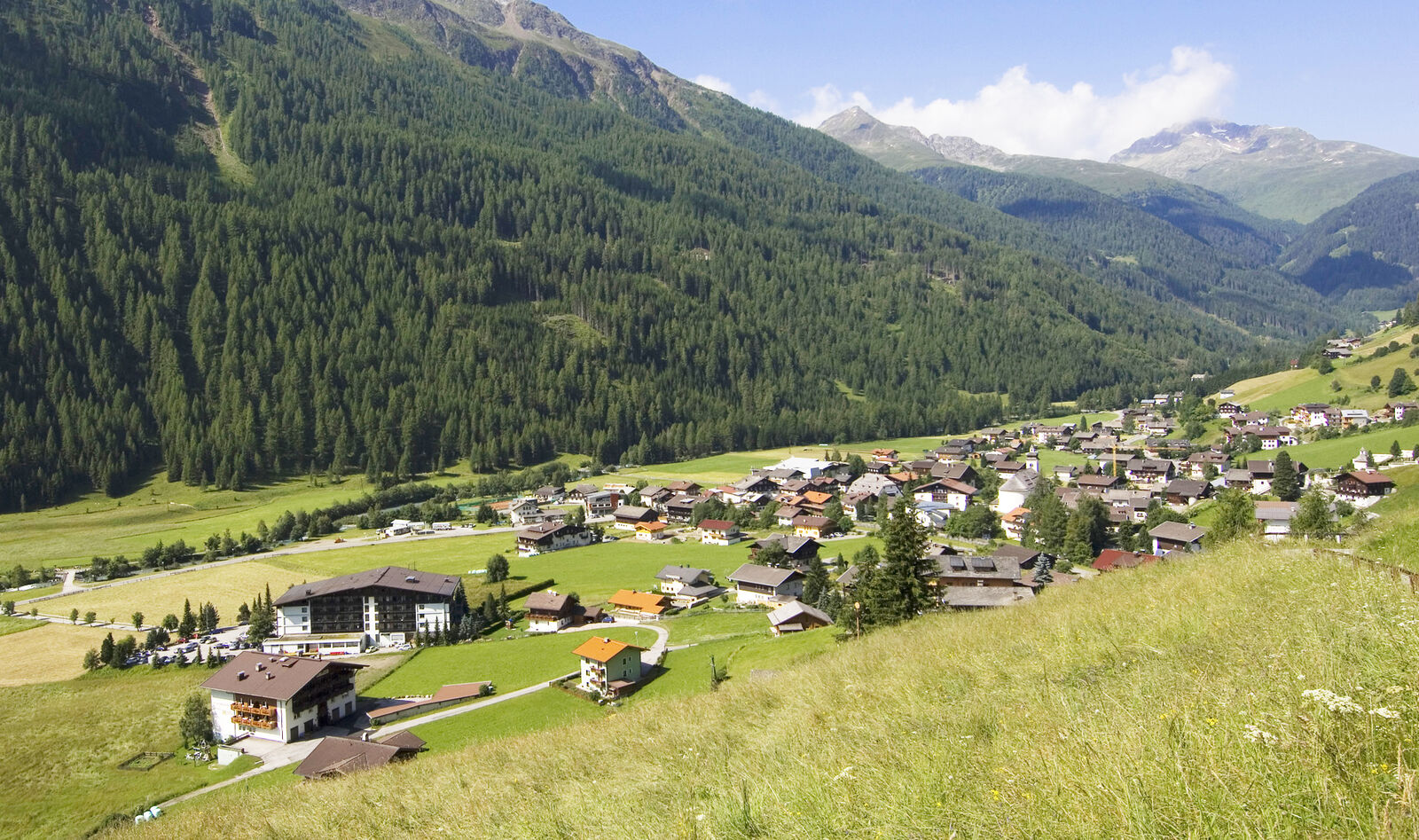
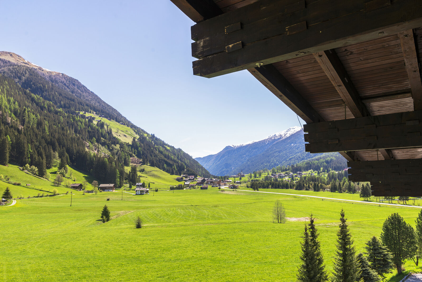
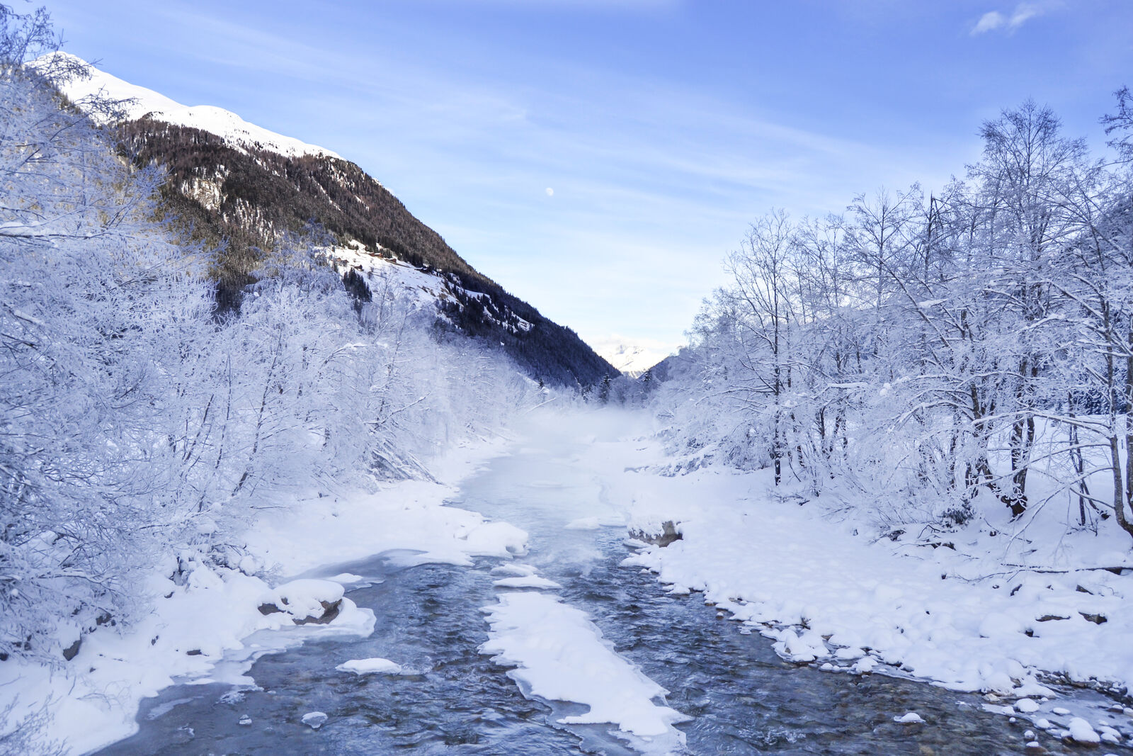
THE STALLE PASS, NEAR ANTERSELVA
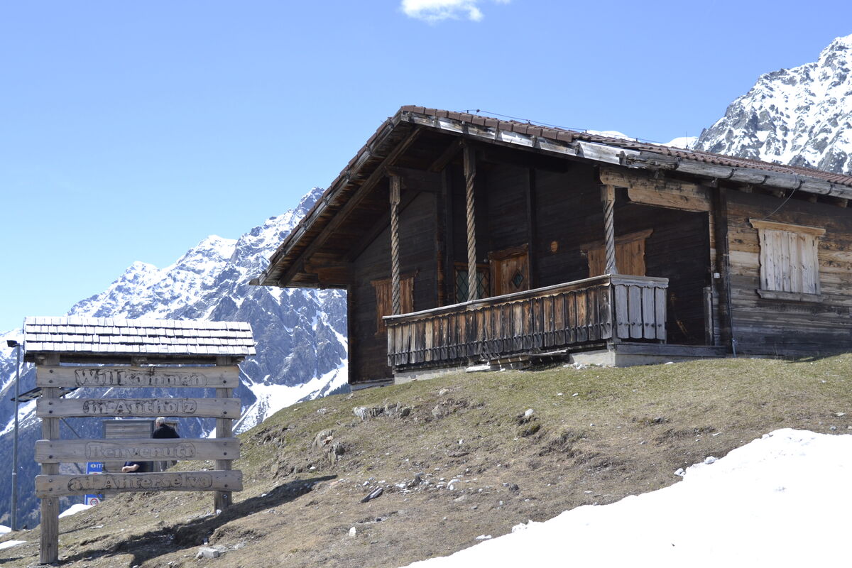
The Stalle Pass and Lake Anterselva
Much more than just the border between Austria and Italy
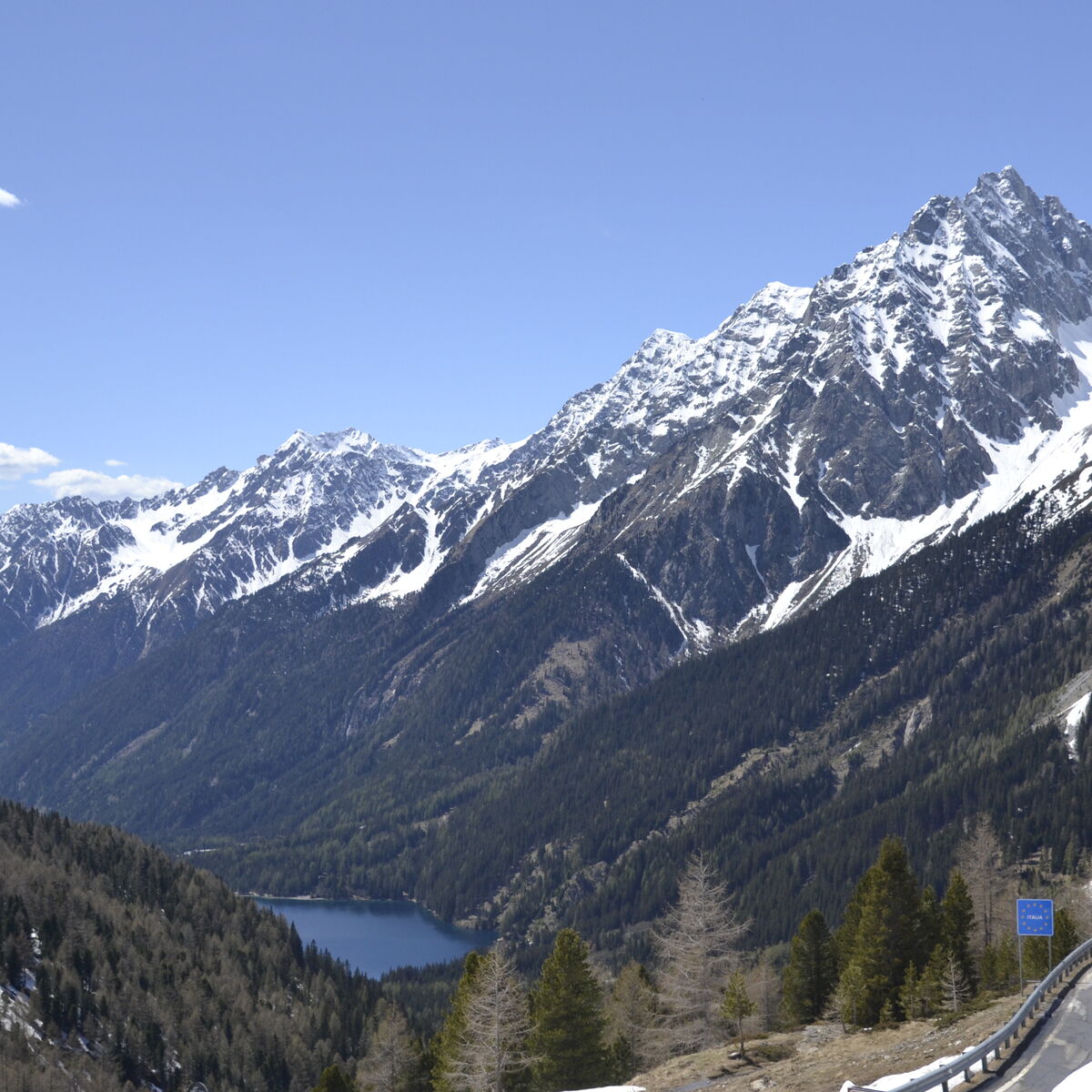
It is much more than just a border between Austria and Italy, much more than just a connection between the Defereggental and the Antholzertal: the Staller saddle.
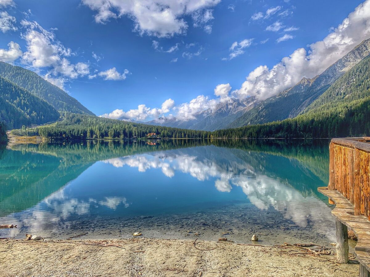
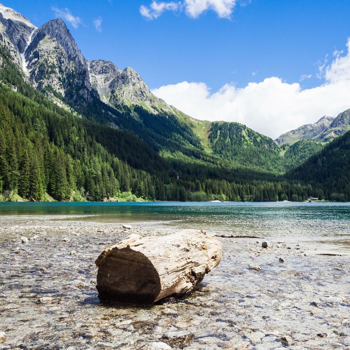
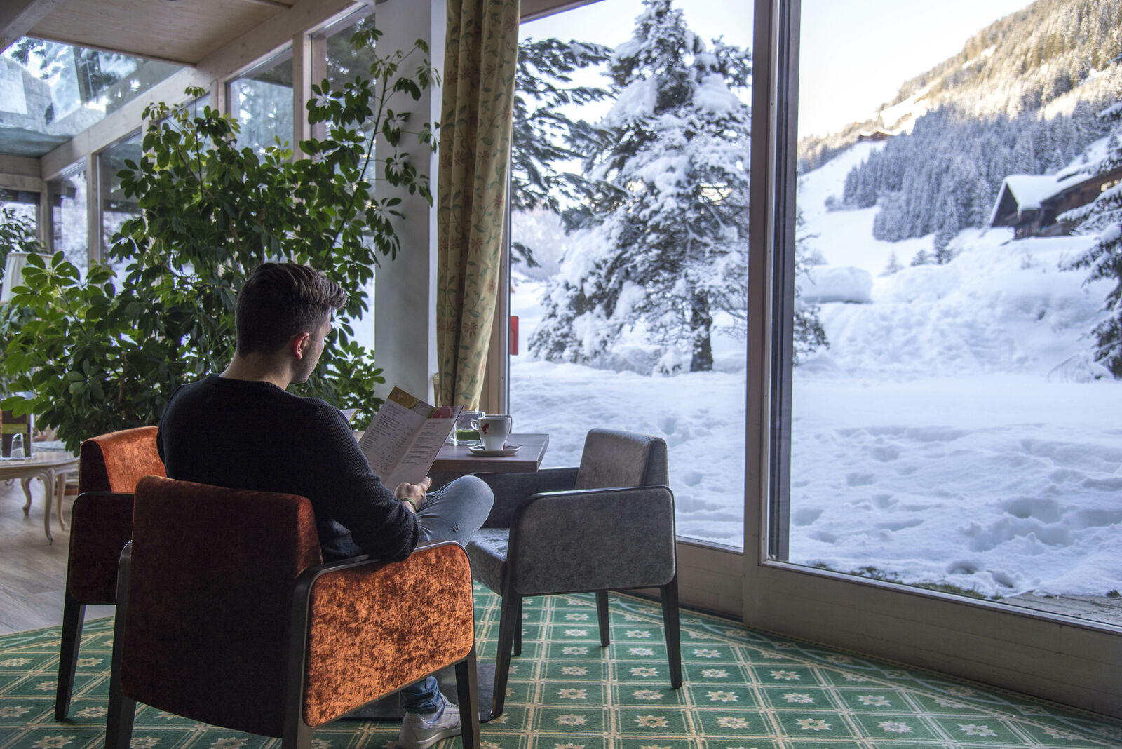
For motorcyclists, the winding pass road is one of the most popular excursion destinations in the Puster Valley, for hikers there is a true paradise on the Staller saddle, for all those who just want to relax a little, there are wonderful ones at the top of the pass, shortly after the border crossing to East Tyrol opportunities to do so. Up here, at an altitude of 2,052 m, there is another lake, the Obersee and next to it the Oberseehütte.
Especially in summer, the Obersee is a popular destination. The lake invites you to take a short walk along the shore around the lake or just relax in the sun. The Staller Sattel is also a popular destination for one or the other mountain hike, such as a mountain tour on the Rote Wand.
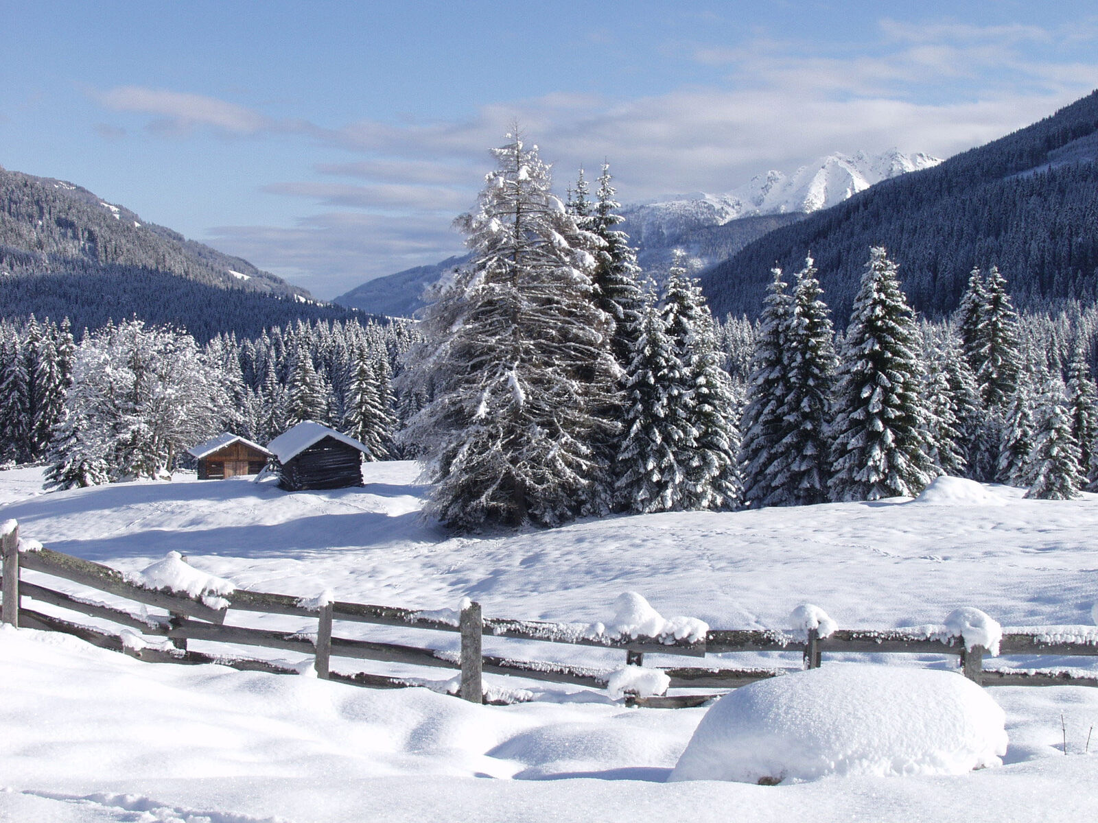
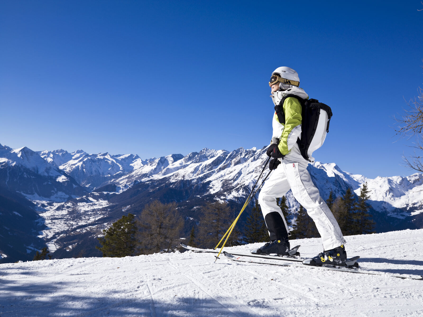
The Staller Sattel is also very popular in winter, despite the winter closure on the Antholz side. A cross-country ski run circles the lake and a toboggan run leads from the Staller saddle down to Lake Anterselva.
Worth knowing about the Staller Saddle in South Tyrol
There is more important information about the Staller saddle. Above all, of course, information on traffic regulation, the opening hours of the road and traffic light regulations on the Italian side. We can also tell you one or two curiosities about the Staller saddle.
👉 Italian name: Passo Stalle
👉 Pass height: 2,052 m
👉 Opening times of the pass road: mid-May - end of October from 5.30 a.m. - 10.15 p.m.
👉 Traffic regulation: Traffic light regulation due to the narrow road width. From the 1st to the 15th minute driving license Staller Sattel - Antholzer See, from the 30th to the 45th minute driving license Antholzer See - pass crossing.
👉 Slope: 18.8% from Antholz towards the top of the pass over a distance of 4.4 kilometers| 10.5% from the top of the pass in the direction of Osttirol / Austria
👉 Restrictions: According to regulation no. 17913 of December 6th, 1991, vehicles with a maximum weight of 3.5t may operate on this route. However, there is a height restriction of 3.00 meters for these vehicles. Buses, trucks and vehicles with trailers are not allowed to operate due to the general driving ban.
👉 Open in winter: only the access road to the "Lackenstüberl" snack bar via the East Tyrolean side (Defereggen). The pass itself is closed for the winter.
👉 Weather: due to bad weather (heavy rain, danger of mudslides), the pass road can also be closed at short notice.
👉 Toll obligation: no
👉 Worth it: yes, especially in June when the alpine roses are in bloom
👉 Current traffic information: South Tyrol traffic information center, Tel. +39 0471 200198
👉 Information on the Obersee: Length 600 m, widest point 200 m, deepest point 27 m
By the way: A few years ago, the highest ship find in Europe was made at the Obersee, at a depth of about 8 m. A scientific diving expedition also came to the knowledge that the mountain lake was fished more than 1000 years ago.
Source: www.antholz.bz/staller-sattel
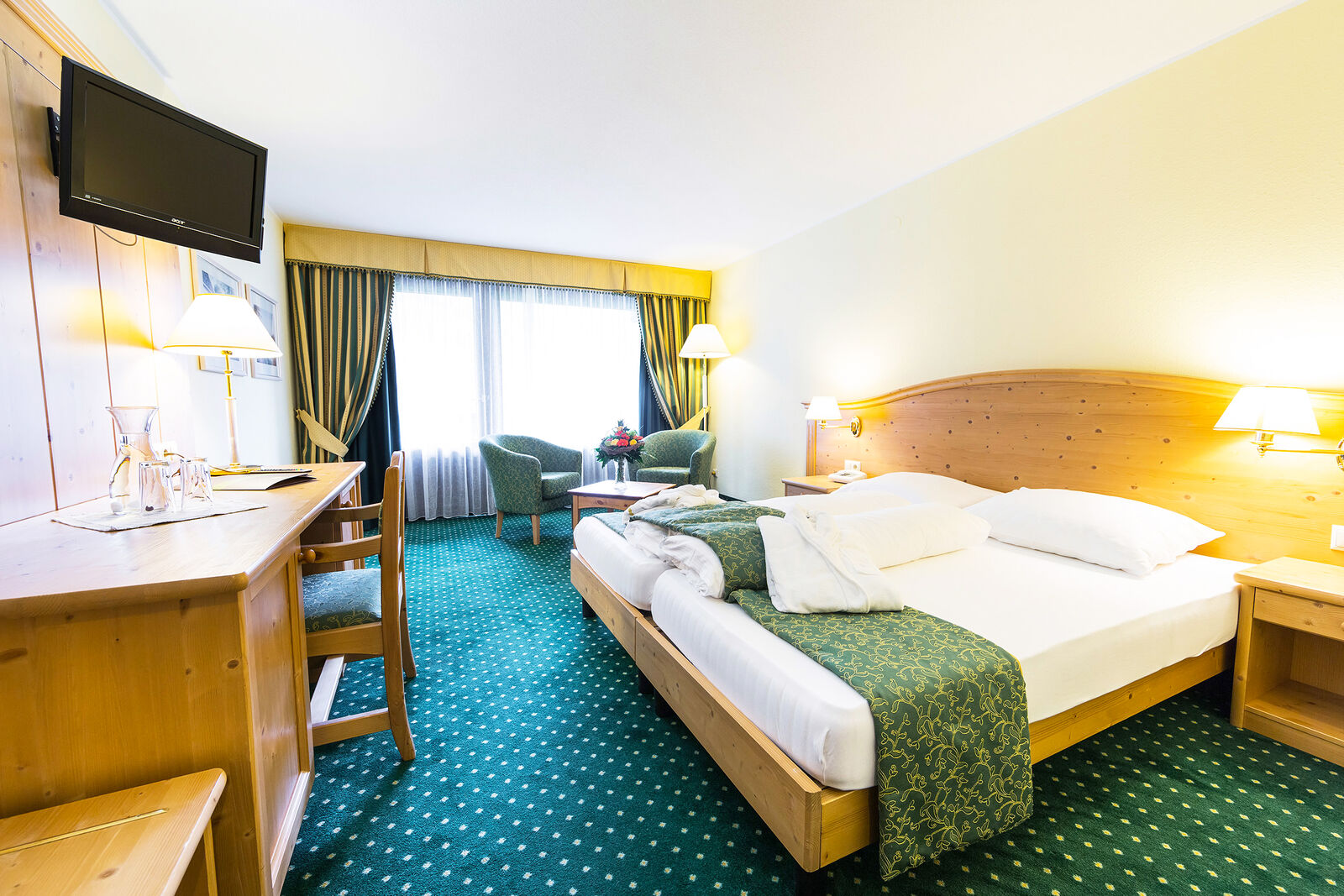
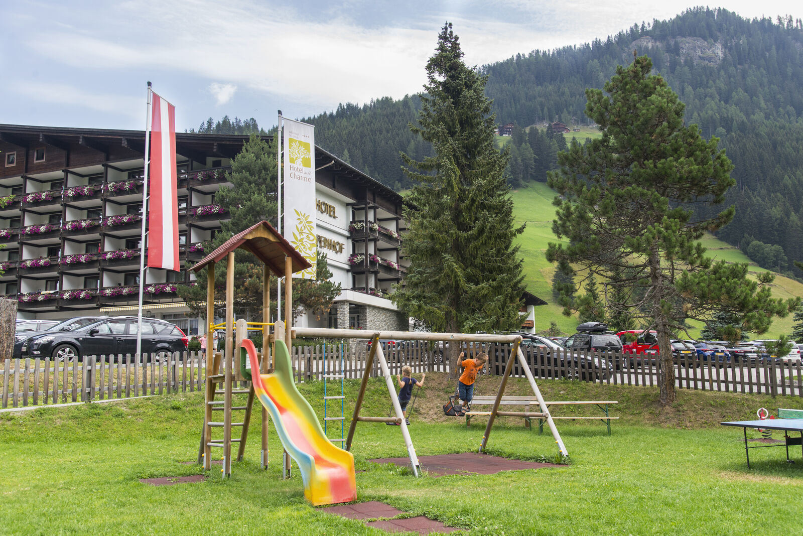
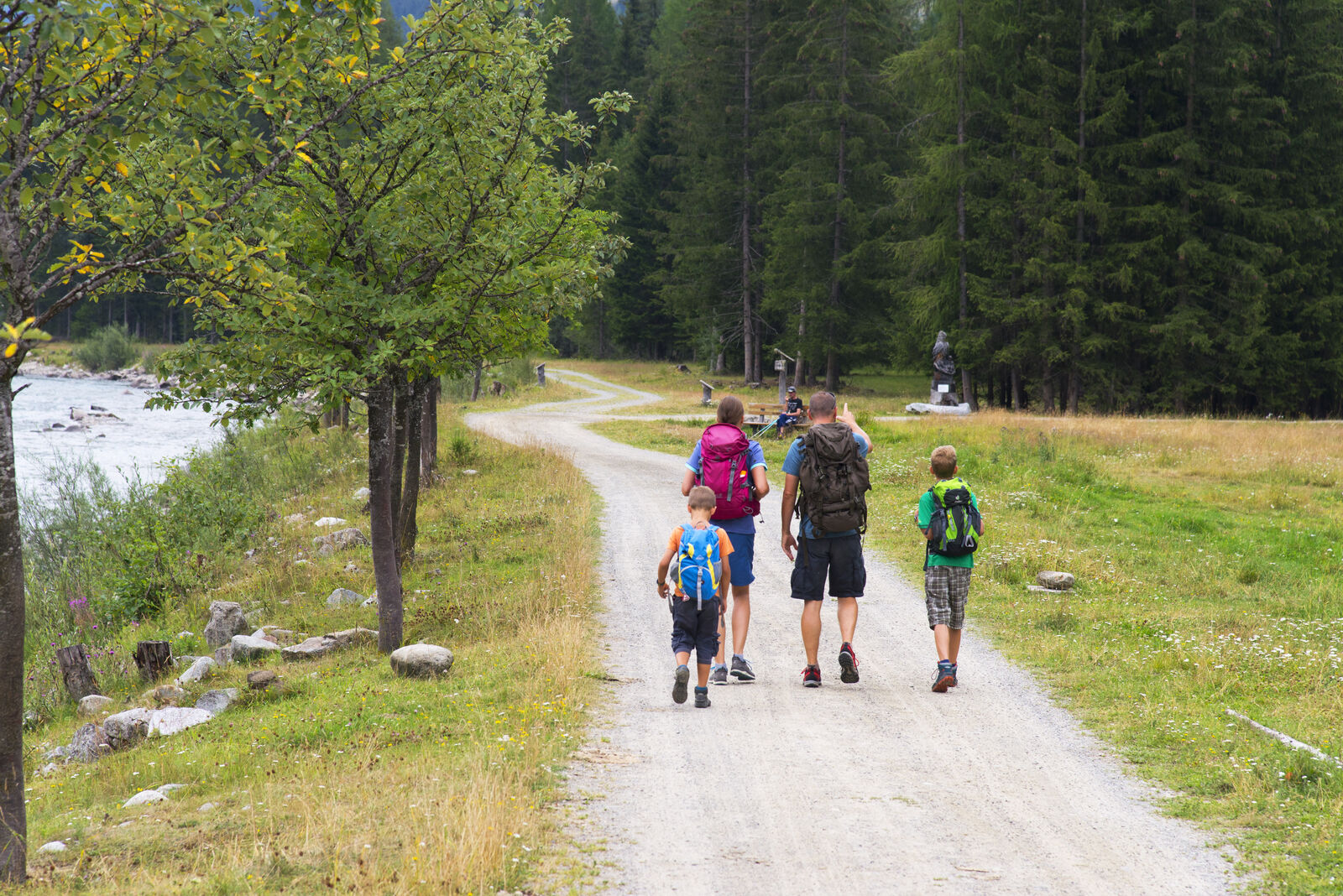
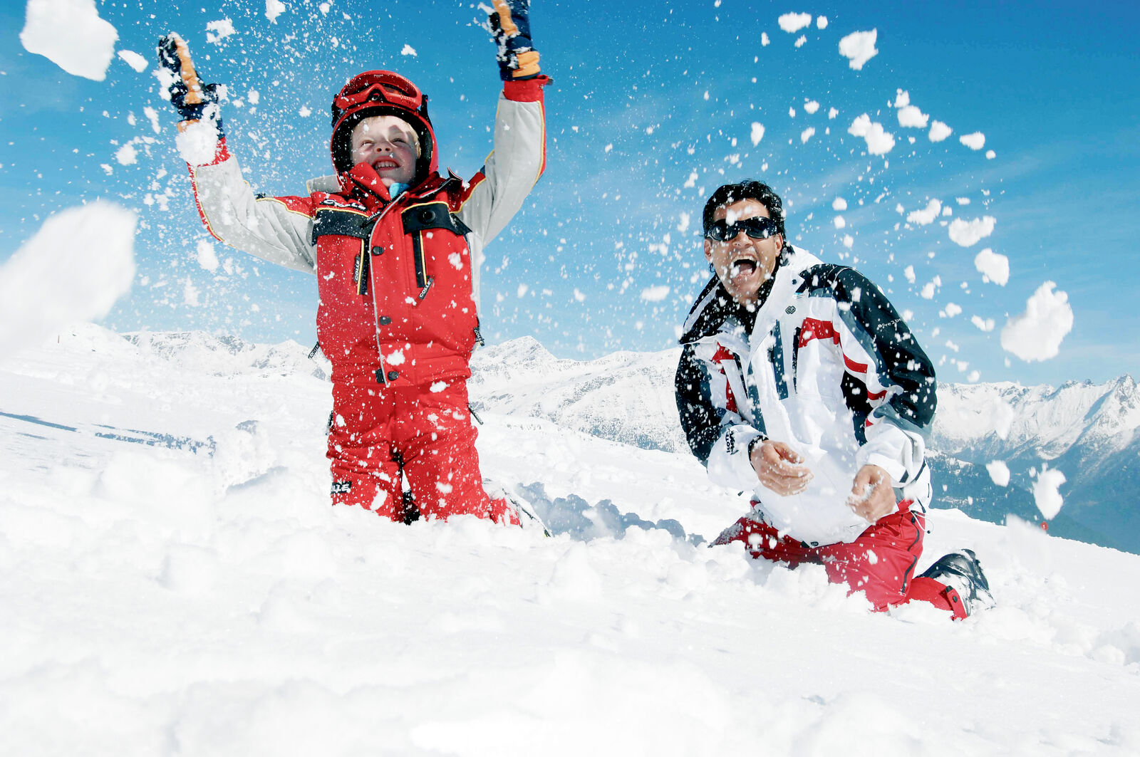
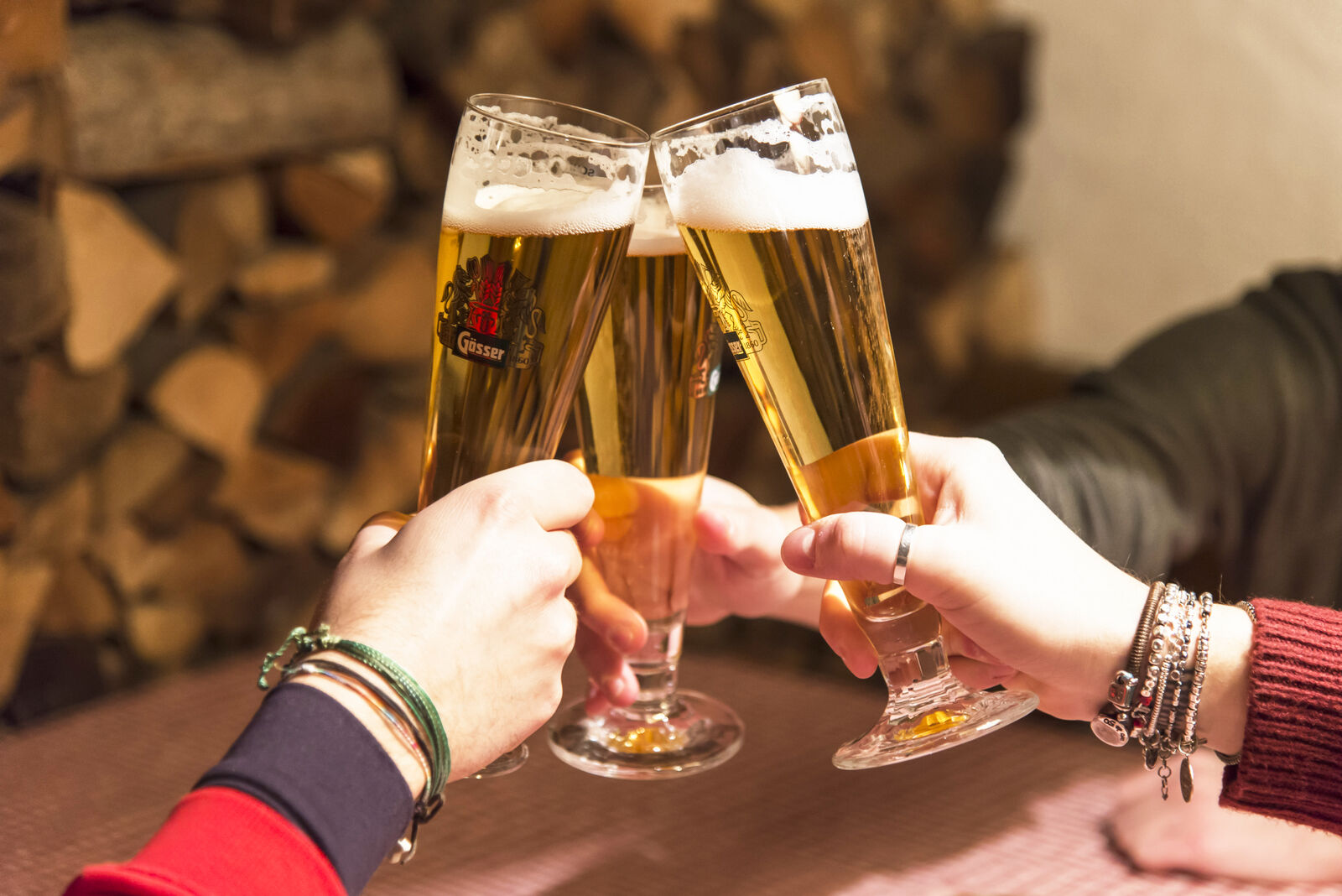
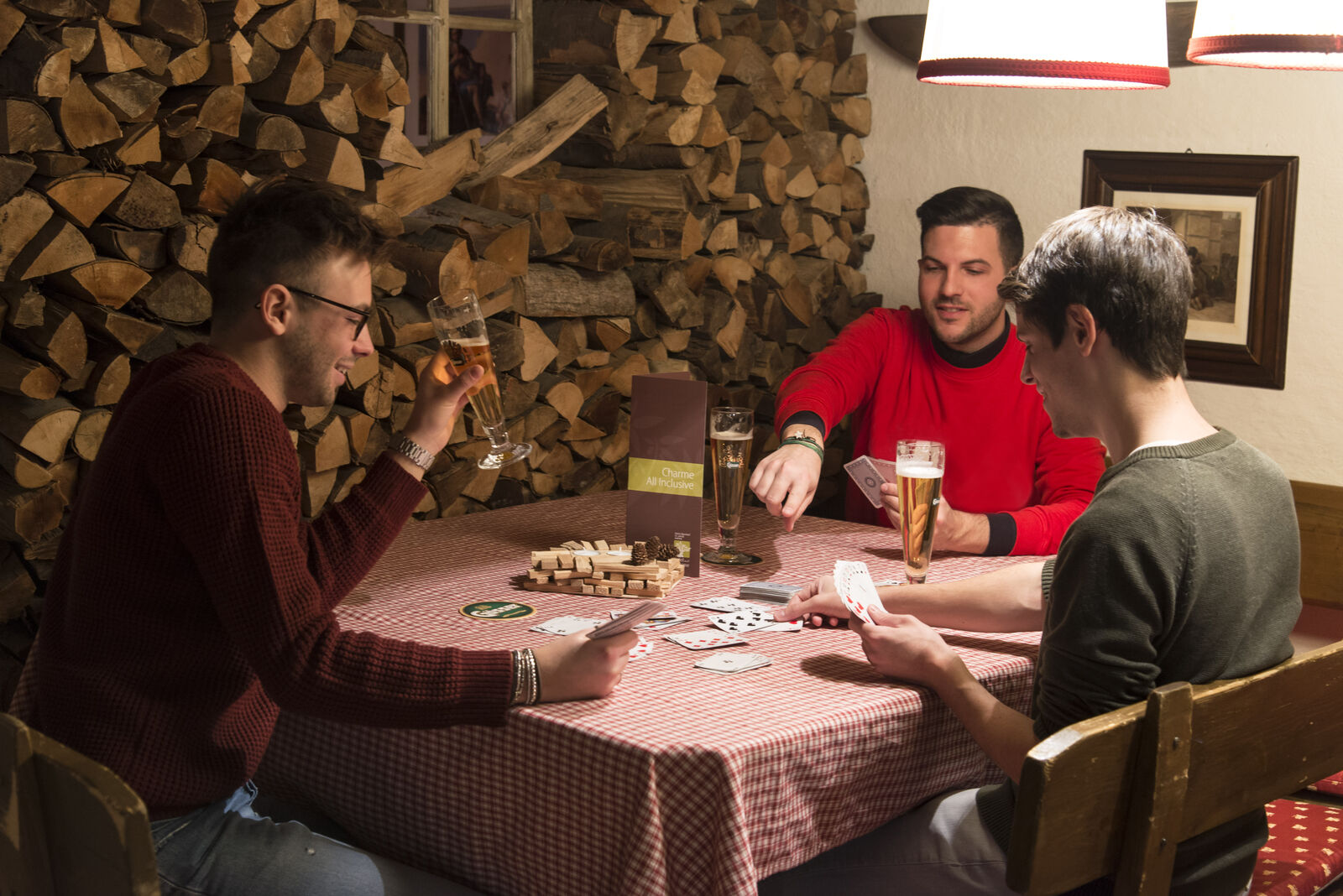
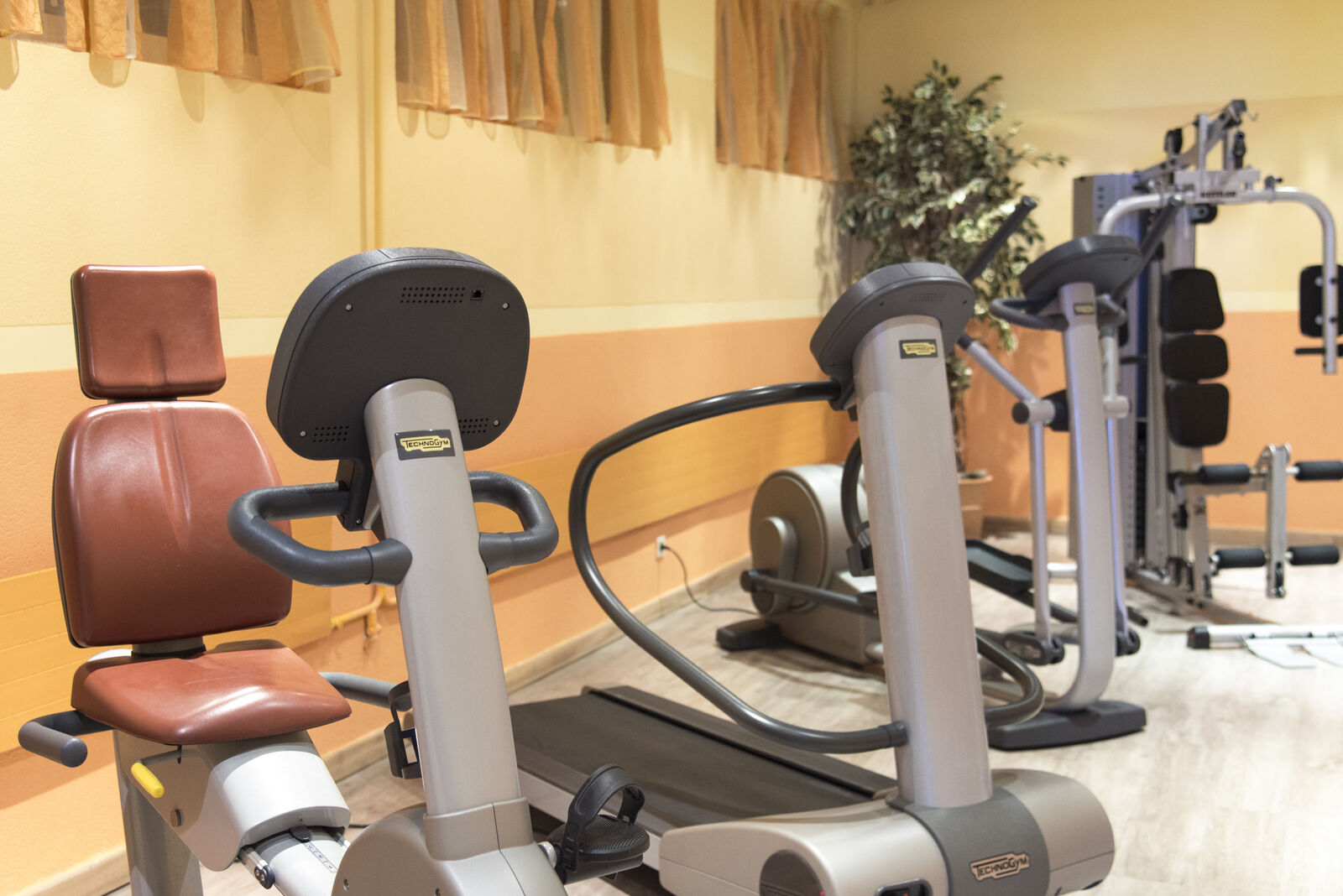
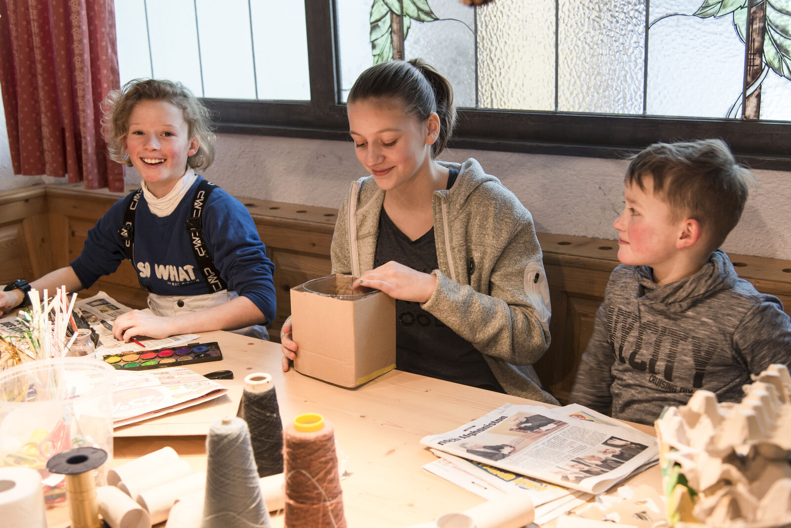
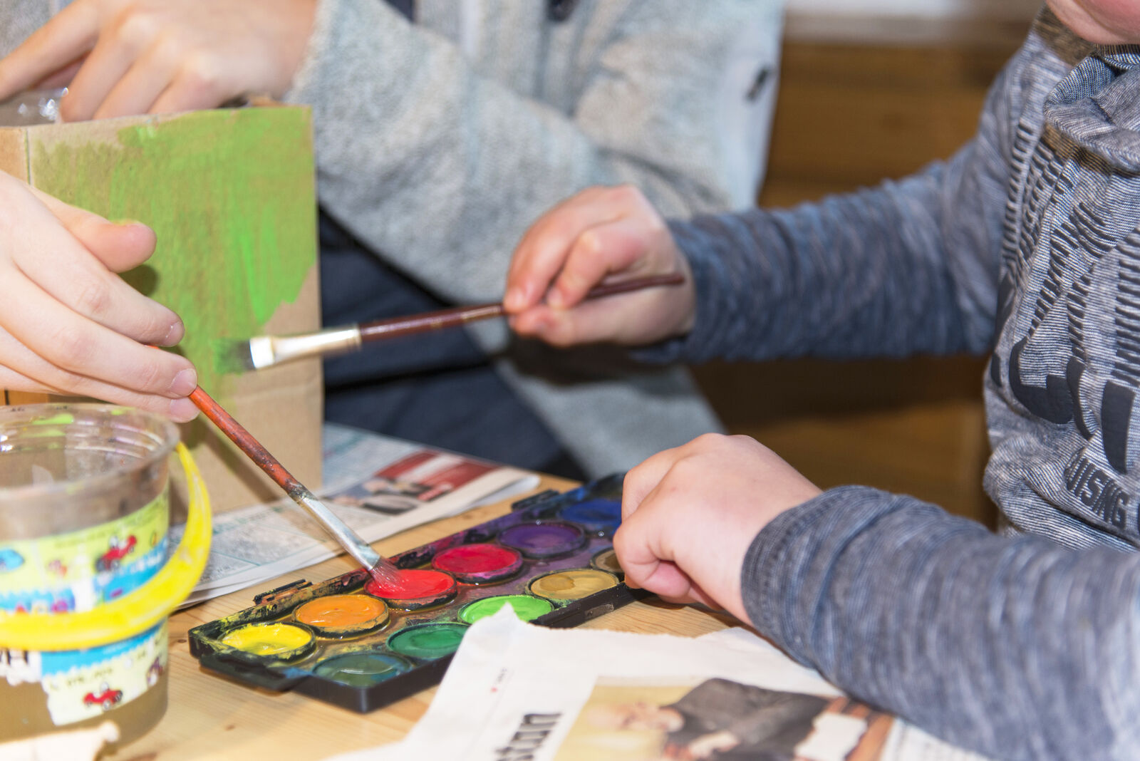
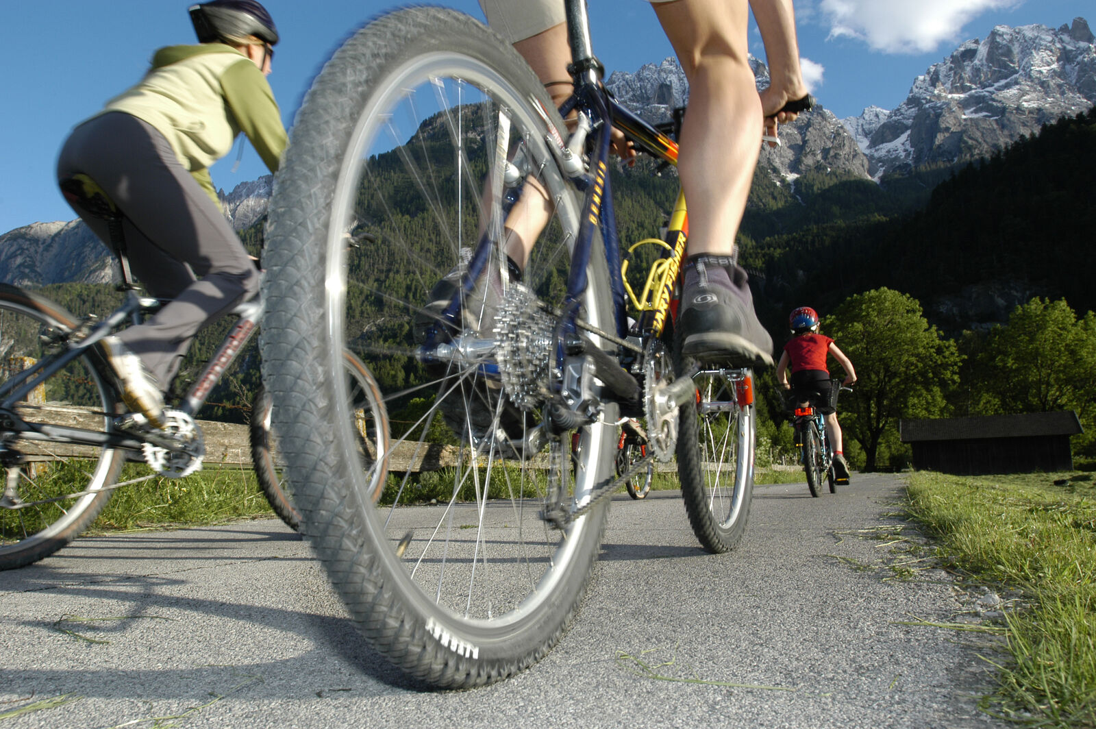
The valley offers an array of opportunities for
sports
and excursions
With its countless trails, ski slopes and breath-taking scenery.
Discover now